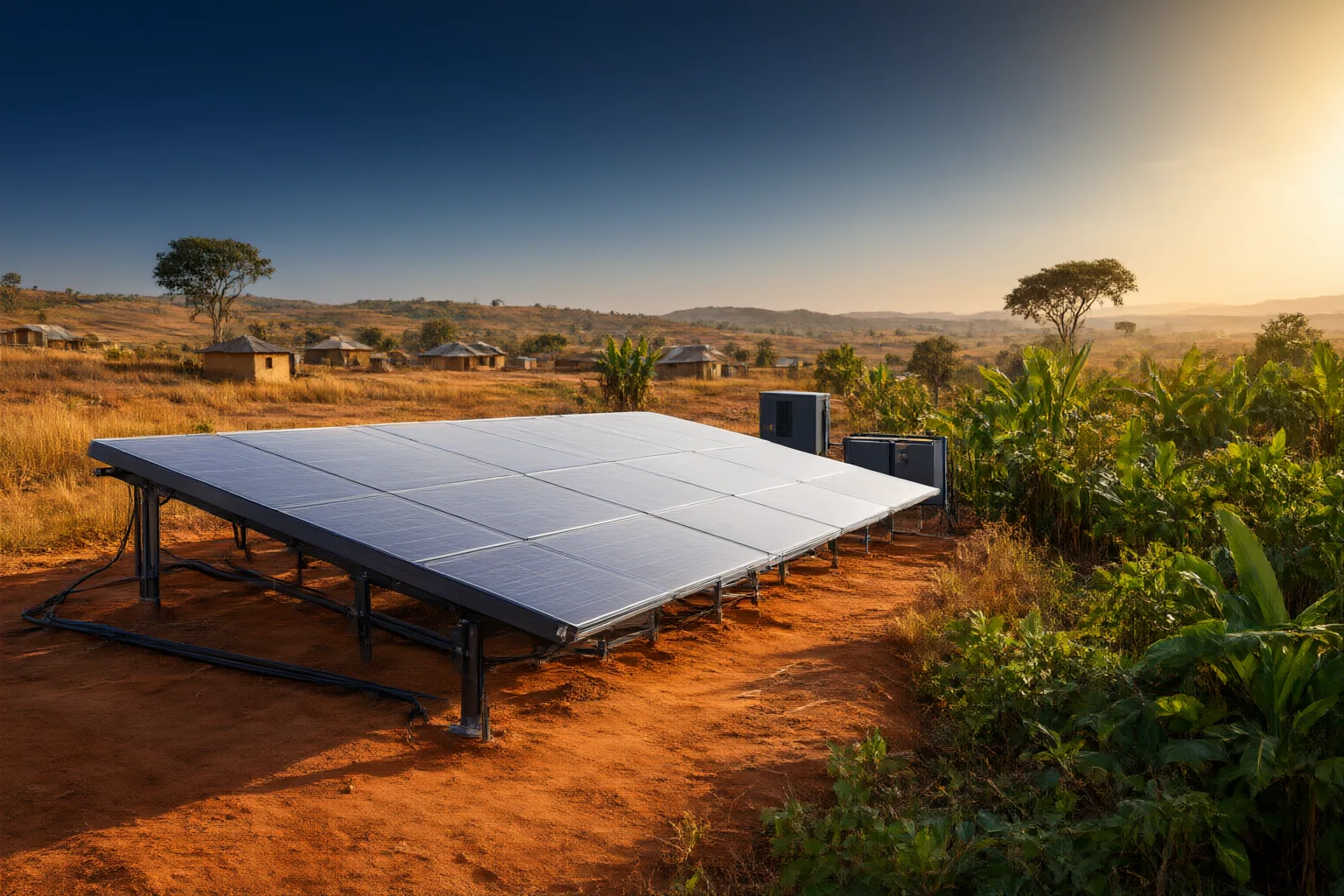
A useful suitability study should begin by defining the decentralized electricity application, the rural-electrification objective and the population context. Researchers can then select authoritative geographic data representing those dimensions, validate its coverage and resolution, and document its limitations.
Define the Decentralized Electricity Use Case
Researchers should first specify what “suitable” means for the decentralized renewable electricity application being studied. The supplied evidence distinguishes distributed solar systems—including rooftop, commercial and mini-grid installations—from utility-scale solar projects. These categories serve different settings, so treating them as a single development type could blur the purpose of a suitability map.
A study should therefore state whether it is examining rooftops, commercial distributed generation, mini-grids or a clearly defined combination. That choice establishes the questions that later geographic inputs must answer and helps prevent evidence about utility-scale development from being treated as evidence about distributed applications. The source also reports broader expansion in both distributed and utility-scale solar across Africa, providing context for making this distinction. It cites 803 MW of Nigerian solar installations in 2025, but the underlying Global Solar Council report is not included, so that figure should not be used as a directly verified mapping benchmark.

Represent Rural Electrification Priorities
The mapping objective should next identify the access problem and geographic context it is intended to examine. TotalEnergies states that it is developing rural solar-electrification projects in Nigeria through its distributed-generation business. This company-reported activity supports treating rural electrification as a relevant context for decentralized solar research, but it does not establish national coverage, project outcomes or the suitability of particular locations.
Researchers can use the rural-electrification objective to define the kinds of places their study must represent before choosing geographic data. They should describe the target area, the access question and the intended decentralized application in explicit terms. Candidate datasets can then be evaluated against that defined purpose rather than selected simply because they are available. Because the supplied source does not name datasets, spatial resolutions or suitability thresholds, those technical choices require authoritative supporting sources and transparent validation beyond this evidence package.
Include Affordability and Population Context
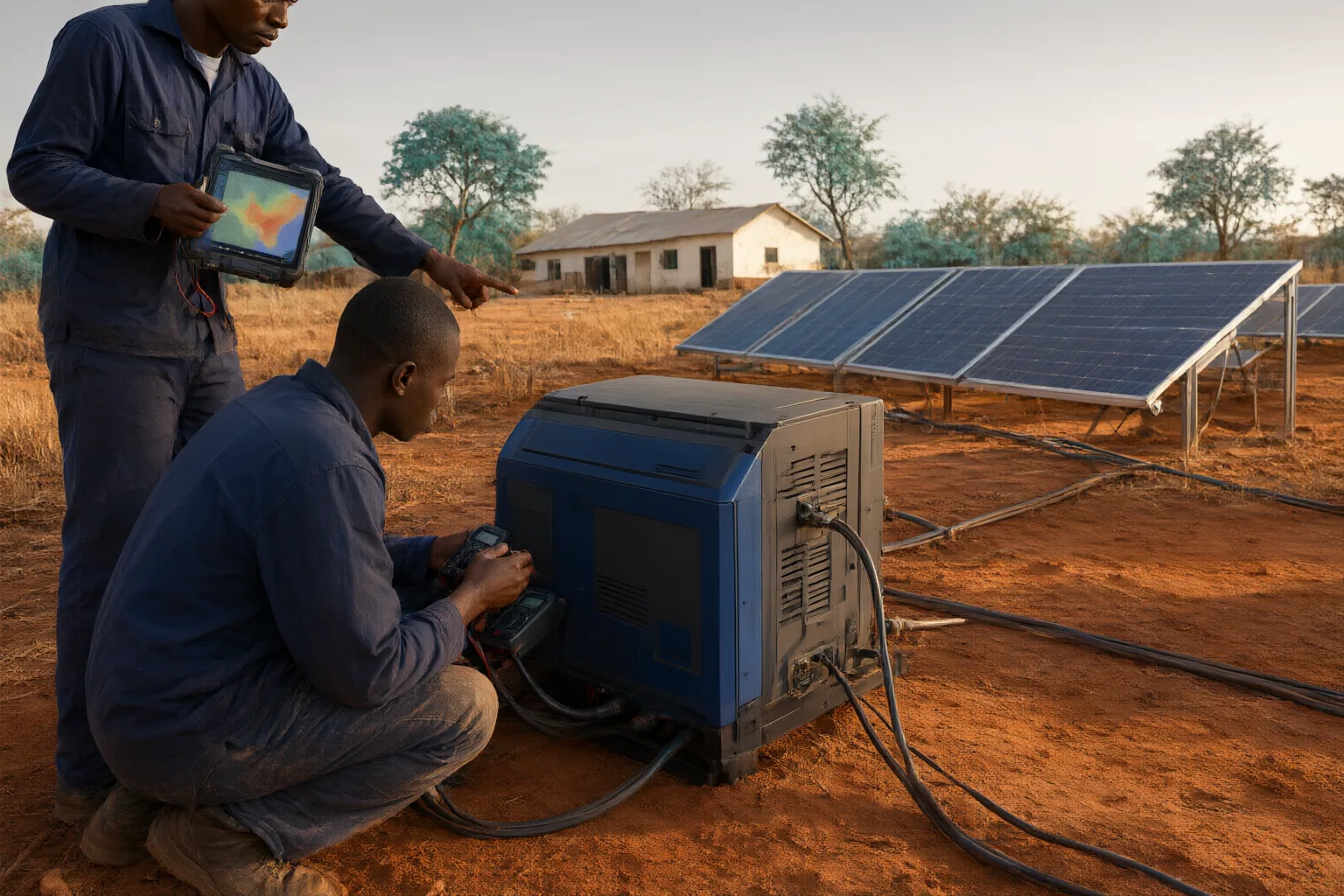
A suitability study concerned with energy access should not reduce the problem to technology location alone. TotalEnergies reports that decentralized solar solutions intended for low-income populations are sold through its Nigerian service-station network. This makes population and affordability context relevant to framing the research question, while remaining company-reported evidence of activity rather than independent proof of reach, affordability or customer outcomes.
Researchers should define which population the map is meant to serve and what access or affordability concern the study will examine. Geographic inputs representing that context should be assessed for relevance, coverage and consistency with the chosen unit of analysis. Researchers should also avoid assuming that the presence of a sales channel demonstrates that nearby households can afford a solution or receive reliable electricity from it. The study documentation should separate observed geographic data, company claims and analytical judgments so readers can understand what the final suitability classification does—and does not—show.
Conclusion
A defensible framework begins with three decisions: identify the distributed technology category, define the rural-electrification objective and specify the population context. The distinction between rooftop, commercial, mini-grid and utility-scale solar prevents mismatched development categories from being combined. The reported Nigerian focus on rural projects and low-income populations then helps define the access questions a decentralized renewable electricity study may need to represent.
Only after fixing that scope should researchers identify authoritative geographic datasets capable of representing the selected dimensions. Each dataset should be checked for geographic coverage, resolution, currency and fit with the intended analysis, with uncertainties recorded rather than hidden. The available sources establish relevant contexts but do not prescribe particular layers or thresholds, so those choices need separate authoritative evidence. Before building the map, write down the intended decentralized application and target population, then validate every proposed dataset against that definition.
Disclosures and limitations
- This article was prepared with AI assistance from the supplied research package. Material claims are attributed to a LinkedIn excerpt and TotalEnergies; company-reported activity is contextual evidence, not independent verification.
- No products are recommended here. Any future commercial or affiliate relationship should be disclosed separately and must not determine suitability conclusions.
Related reading
- Renewable Energy in Nigeria
- Community Transformer Contributions in Nigeria: What Residents Should Document Before Paying
- Eko Power’s Cost-Reflective Tariff: What It Means for Electricity Bills and Solar Decisions
Sources
- Geographic Trends in Solar Energy Adoption — linkedin.com
- TotalEnergies TotalEnergies in Nigeria — TotalEnergies.com